Virtual Road Trip - US Route 1 - Prologue
First published: Thursday June 5th, 2025
Report this blog
Prologue
One of my long-held ambitions was to drive the complete length of U.S. Route 1, from Fort Kent, Maine to Key West, Florida. With my advancing years it has become apparent that I probably will not make this journey, I haven't given up completely, but I'm just being realistic. Anyway, I have discovered another way of doing the trip, and that is virtually with Google Street-View. So I thought I may as well share it with you lot. Now obviously at 2,370 miles (or 3,810 km, if you're from outside the UK or US), that will take a lot of clicking, so I have set myself a few parameters.
I'm going to click through each and every settlement that is marked on GSV (Google Street View, I'll use this abbreviation in future) in the following way...
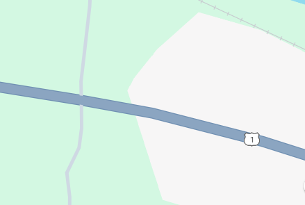
As you can see, rural areas are in green and urban areas are in white. I shall be travelling virtually through each settlement, whether it is a hamlet, village, town or city. The rural areas I shall dip into now and again, just to see what's there, especially if there is an attraction noted on the screen map. I think this is probably similar to what I would do if driving the road, you tend to zone out a little when it's a boring drive with little to break the monotony.
In the blog, I intend to add a picture from every settlement, plus a short but hopefully interesting, paragraph about the place. That may be historical, or funny, or about a famous person from there, or even an attraction that can be visited. However, I shall only be concentrating on Route 1, not the side roads. So, if the museum or whatever is off Route 1, then it doesn't get featured.
Now, this may be an epic series, and I mean epic in the same way that the Vikings used the word "saga" for their stories. I think this may be my longest series yet, but we shall see. I am already thinking of other roads that I could do in the same way! I could have started with a shorter road I suppose, like the A1 in the UK, but that has more by-passes than a heart hospital, and little of it goes through urban areas nowadays. Route 1 is an historic route in the United States and as such still visits many small communities.
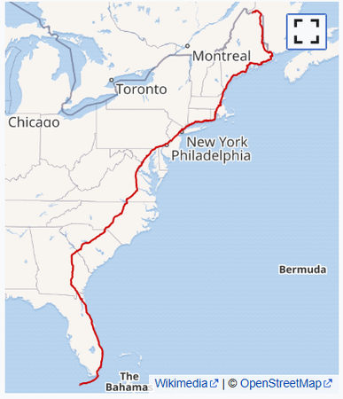
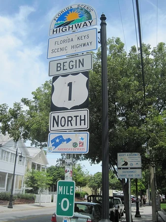
Some publications suggest that Route 1 starts at Key West in Florida, whilst others start at Fort Kent, Maine. I shall be travelling from the north to the south, mainly because, that's the way I always wanted to drive it. It winds it's way through fourteen states and the District of Columbia, taking in several major cities as well.
History of Route 1
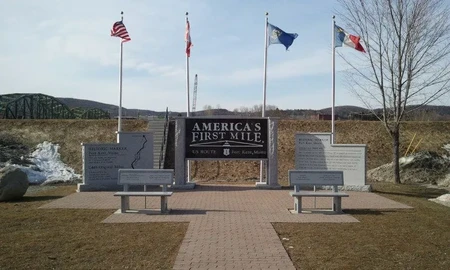
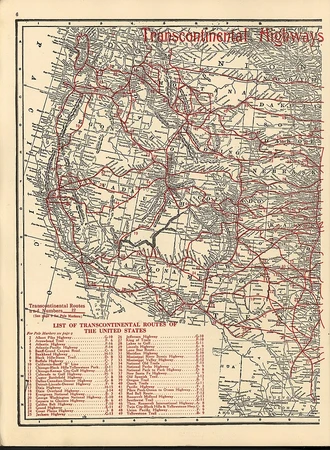
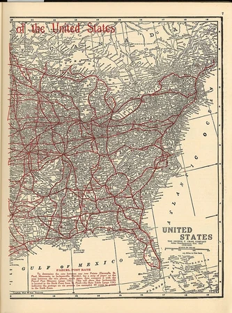
The origins of Route 1 date back to the early days of motoring. In 1911, auto trails were springing up all over the USA and Canada. They were usually marked by metal or painted bands around utility poles, some were made up by local entrepreneurs after a "quick buck", whilst others were well organized by county authorities. Route 1 started out as the Quebec - Miami International Highway and in 1915 it's name was changed to the Atlantic Highway. In 1922, when New England started numbering the roads, the Atlantic Highway became Route 1. Although by this time it terminated at Calais, Maine rather than Canada. Various states had their own numbering systems until 1925, when the Joint Board on Interstate Highways was introduced and the Atlantic Way became Route 1, almost as it is today.
Settlements
I thought I would enlarge on what I intend to write about in each entry. Every single settlements will have it's own entry, similar to a travelog or guide book. However, there will be at least one picture for each entry, mainly being a screenshot of a GSV image, that I find interesting. It may be a particularly ornate house, or a strange figure at the side of the road, or even just a street food cart. Who knows, I may even take a snapshot of your town. But, the pictures will only be on Route 1. Consider them my holiday photos. Just like when driving around properly, I would take a photo of something I found interesting, that's the same thing I will be doing in this blog.
I'm not going to keep a tally of the miles covered. (For future reference, if I mention miles, I mean kilometres as well. If I post how many miles for any reason, it will be just in miles or kilometres, not both. If you want to know the difference, work it out yourself. Just for you here's the formula...
MILES TO KILOMETERS = MULTIPLY BY 1.6
KILOMETERS TO MILES = DIVIDE BY 1.6
Got that? Good!
There will also be a short written section to each settlement, sometimes one or two lines, other times a bit longer, especially for the bigger cities. The only standard thing for each entry is that it will be on route, no deviation. Otherwise, the blog would be never ending, and we'd all get bored and drift away, and that won't be good for anyone. I will try to add some of my weird humour into the blog, I'm sure there will be some strange sights to see on my virtual travels.
Now obviously, GSV is just a snapshot in time when the Google Car drove by. In case you're wondering, it looks like this...
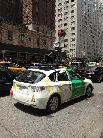
...or similar, different countries have different designs. The cameras can also be fitted to a backpack, or a bicycle, or anything really. Anyway, most of the start of Route 1 seems to have been updated in 2024, however some parts may be a little older, I will try to remember to put a date on the pictures just for reference. (All of the pictures in this blog, come from Wikipedia, apart from the first which is a screenshot of the GSV map near the start of the road in Maine. Most pics in the ensuing blog will also be screenshots from GSV, and I intend to credit them accordingly, probably at the start or end of each blog).
Layout
I'm not going to add an Introduction and Summary to these blogs. I know this is a major change from my blogs, but I don't see the point in adding them, especially when they'll just be the same old rubbish in each one. That's why this blog exists, it's an introduction for the whole series, published separately as a Prologue. Consequently, there will be an Epilogue at the end, although this may be tagged onto the final chapter when we end up in the Keys.
I don't think I am going to add dividers either, I think they will detract from each entry, especially if it's only a couple of lines long. I may, and I emphasize may, add a divider between states, I haven't decided yet. You may also have noticed that my heading are centralised, that's because I only just realised I could do that. I really should just play about with each individual component to see what it will do.
Thoughts
So what do you think?
Is this a good idea, or not?
Are you interested in discovering small town America with me?
Do you think I will finish the project?
There is one question I haven't been asked, but I will answer it anyway. Why not carry on with the Strange Places blogs?
Well, I wasn't too excited about them, and a small part of me was uncomfortable with poking fun at other countries place names. I had initially done some research for the next one, (France, in case you were wondering), when I came across a small town called "Condom", Yup, I thought that too. However, when reading up about the place, it occurred to me that the local people in these places are proud of their village including it's name, and I felt it wouldn't be right for me to go against that. The same observations could probably be made about many other places.
I had also suggested in some earlier blogs, that I was going to revive the Five Islands series, well, that's not going to happen either. I was doing some research into islands in the Baltic Sea, and realised why I had ended that series when I did. I had got bored with islands. I'd overdone it.
In a nutshell, I had lost my way. I needed a brand new direction, something different, but something substantial. A few thoughts crossed my mind, but they were soon discarded. Then, whilst bored I just clicked on the "random article" button on Wikipedia.
I arrived at the pages for Procecidochares utilis (a type of fruit fly), the Fishergate Baptist Church in Preston UK, and Sven-Olof Olson (a senior officer Swedish Air Force).
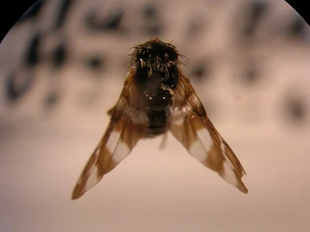
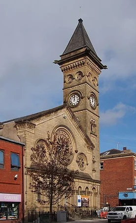
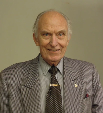
All fine pages, especially the distinguished gentleman on the right, however, not really the inspiration I was looking for. After several more random pages I hit upon the page for the US I-87 road. This has a junction with Route 1 and I-95 that shadows Route 1. And that's where it happened. Like a bolt of lightning, well, just a random thought really, "What about road blogs?". That then morphed into what you are reading now. Me, trying to justify a long blog series, that will probably keep me occupied for weeks, day after da.....wait, I'm not really selling it here am I?
Conclusion
That's all for now my friends and followers, the research has already started, but with such a grand project, it may be a few days before anything is published. I was going to make one blog for each state, but I fear that would make them much too long, so I will probably have around fifteen to twenty settlements in each one, depending on the size of the place.
So for now, I will leave you in anticipation of what is to come. Hopefully I can do the subject justice.
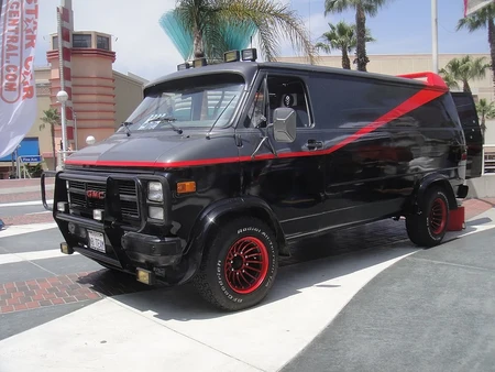
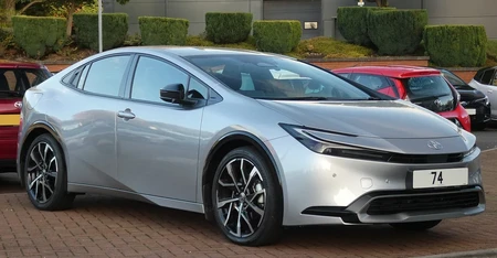
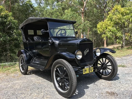
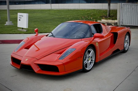
Lastly, any thoughts on which virtual vehicle I should use? Maybe one of these...
That'll do for now I think, I look forward to reading your comments.
I wish you the best on this journey!
It looks like Columbia is the closest place on Route 1 to Charleston. You'll have to wait until I do Route 17 !
I'm curious, will you be clicking just one space at a time (the arrow) or will you click out further to allow you to move further distances with each click
CLICK HERE