Featured Quizzes
User Quizzes
Create Quiz
Data and Charts
Word Search
Badges and Games
About JetPunk
Message Board
Random Quiz
Dark Mode
Maps on the 8th and 9th floor hallways of Oldfather Hall, UNL(2026-27) - Statistics
General Stats
- This quiz has been taken 1 time
- The average score is 5 of 37
Answer Stats
| Picture | Answer | % Correct |
|---|---|---|
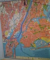 | New York City | 100%
|
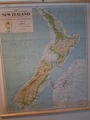 | New Zealand | 100%
|
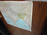
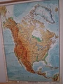
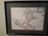 | North America | 100%
|
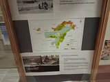 | Northeast India | 100%
|
 | South Asia | 100%
|
 | Africa | 0%
|
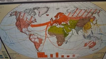
 | Afro-Euro-Asia 1800s | 0%
|
 | American Indians in the U.S. 1960s | 0%
|
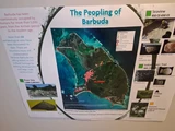
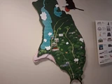 | Barbuda 3D Topographic | 0%
|
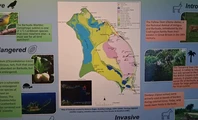 | Barbuda Ecological Map | 0%
|
 | Belfast Area Cycling Routes Map | 0%
|
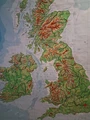 | British Isles Topograpical Map | 0%
|
 | Cartography of Generative AI Map | 0%
|
 | Central Plains Map Selections | 0%
|
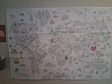 | Color-In World Map | 0%
|
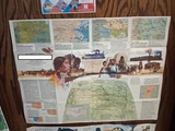
 | Hurricane Irma Storm and colonia and precolonial heritage sites in Barbuda | 0%
|
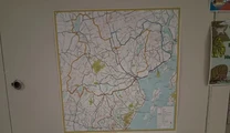
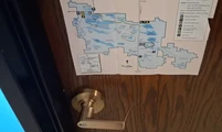
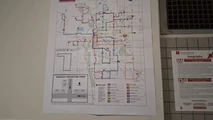 | Lincoln Weekday Service Bus Routes | 0%
|
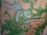 | Midwest and Eastern U.S. | 0%
|
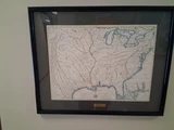 | Mississippi River Tributaries | 0%
|
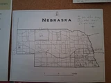 | Nebraska Counties and Prominent Rivers Map | 0%
|
 | Nebraska Outline | 0%
|
 | North America and South America | 0%
|
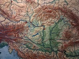
 | North America Topograhical Map | 0%
|
 | Northern Plains Map Selections | 0%
|
 | Oahu Detailed Topography | 0%
|
 | Southeast Nebraska Star Pin | 0%
|
 | Southern Peru and Amazon | 0%
|
 | Southern, Southeastern, Central, and Eastern Europe | 0%
|
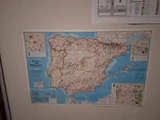 | Spain and Portugal Topography Map | 0%
|
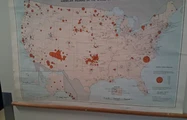
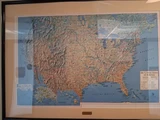 | Topographical U.S. | 0%
|
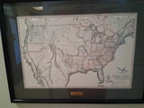 | United States of America (1830)? | 0%
|
 | Valentine National Wildlife Refuge Map | 0%
|
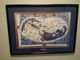
 | World | 0%
|
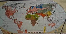
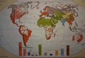
 | World Cultural Regions and Migrations | 0%
|
 | World Languages | 0%
|
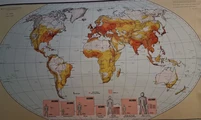 | World Population Density | 0%
|
 | World Religions | 0%
|
No matching quizzes found
Score Distribution
Percent of People with Each Score
Percentile by Number Answered
Your Score History
You have not taken this quiz
New and Popular